# Organization

## List

<figure><img src="https://2741709044-files.gitbook.io/~/files/v0/b/gitbook-x-prod.appspot.com/o/spaces%2FRXRhj3GjfGEkDKgQ1elh%2Fuploads%2FqD1Cq4Y1YUyuNCuBjbM8%2Fimage.png?alt=media&#x26;token=11868658-a0a8-475e-8b5c-b44cfdf32d33" alt=""><figcaption><p>Organization List</p></figcaption></figure>

Here the organizations (several locations in which the sightings are collected) can be created and managed.&#x20;

<figure><img src="https://2741709044-files.gitbook.io/~/files/v0/b/gitbook-x-prod.appspot.com/o/spaces%2FRXRhj3GjfGEkDKgQ1elh%2Fuploads%2FlLuxXCCHrjbSRxklFlvf%2Fimage.png?alt=media&#x26;token=1d9b642a-c724-4758-a969-7c4482fe596f" alt=""><figcaption><p>Action for an Organization
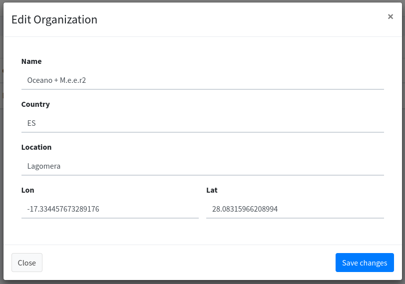
</p></figcaption></figure>

## Edit

The organization is created in this dialog with name, country and GPS information. This information centrally positions the OpenStreet maps.

<figure><img src="https://2741709044-files.gitbook.io/~/files/v0/b/gitbook-x-prod.appspot.com/o/spaces%2FRXRhj3GjfGEkDKgQ1elh%2Fuploads%2FUpTcTIe4cLsYxQef0C6A%2Fimage.png?alt=media&#x26;token=12aae1a9-e6d5-43a8-b78c-26d151fa63bb" alt=""><figcaption><p>Edit an Organization</p></figcaption></figure>

## Tracking area

An area can be defined for each organization that defines “Home”. If the device moves out of this area, a [tour and tracking (GPS)](https://m-e-e-r-e-v.gitbook.io/mwpa/mwpa-mammal-watching.-processing.-analysing./user-instructions/tours) automatically starts. If you enter the area again, the tracking of the tour stops.

<figure><img src="https://2741709044-files.gitbook.io/~/files/v0/b/gitbook-x-prod.appspot.com/o/spaces%2FRXRhj3GjfGEkDKgQ1elh%2Fuploads%2Fd05lXGxWzgEIZf6hgqTb%2Fimage.png?alt=media&#x26;token=b36a4eb9-f7dc-42b9-b8d9-c71d141e2dec" alt=""><figcaption><p>Edit dialog for Tracking-area "Home".</p></figcaption></figure>
